
Mitake_to_Tsurutsuru_9.13.26 GPXNo elevation data
|
| Name | Mt. Mitake to Tsurutsuru Onsen / 御岳山→つるつる温泉 |
| Region | Okutama / 奥多摩 |
| Difficulty | Medium |
| Access | Approach: JR Chuo Line Ome Holiday Rapid, Shinjuku → Mitake Station (8:38 – 9:55) Return: Bus number 五20 Tsurutsuru Onsen to Musahi-Itsukaichi, Musashi-Itsukaichi →Shinjuku (4:20PM – 6:01PM) |
| Total Time | 10:20 AM — 3:30 PM, 5hr |
| Distance / Elevation | 10.3 km / 1570 m |
We can’t climb waterfalls every week, and this week, it just so happened to be a no waterfall week. The Kanto region has recently been hit by unseasonably heavy rain making a trip into a stream dubious at best. In the spirit of safety, myself and team decided to call off our planned sawanobori outing and instead opt for a hike in the same area.
This time, we set out to climb Mt. Mitake (御岳山). Likely one of the more climbed mountains in the Kanto region, Mt. Mitake sits within Chichibu-tama-kai national park. The national park encompasses 1250+ square kilometers covering much of western Tokyo as well as parts of Saitama, Yamanashi, and Nagano prefectures. It is home to vast swaths of relatively untouched wilderness, including the Oku-Chichibu mountain range, Hatanosu canyon, and the Tamagawa river.
Atop Mt. Mitake sits a Shinto shrine, Musashi Mitake, whose roots date back over 2000 years. Said to have been founded during the reign of Emperor Sujin, the shrine’s website reports that it still holds a statue of Zao Gongen, a mountain deity of Shugendo, dating back to 736.
All said, the abundant history, fun little town on top, and possibly most of all, the cable car, make Mt. Mitake a fairly popular weekend hike for Tokyo-area residents. Despite the popularity, many trails around Mt. Mitake are still fairly desolate even in peak hiking season. Cable cars certainly have a way of centralizing foot traffic, but still, I am always amazed by how one can visit the same mountain several times in Japan and not even hope to cover all the trails and routes to the top.
On this trip, I set out with one friend to climb Mt. Mitake actually for my first time. I have lived near and hiked in Okutama many times, but for some reason, I have a tendency to be on a delay for the most obvious or biggest attraction trails. It took me probably over a year to do Takao-san, another very famous mountain in the Okutama area, and I am still contemplating Fuji-san (although I feel I have more reasons not to do it than to do it).
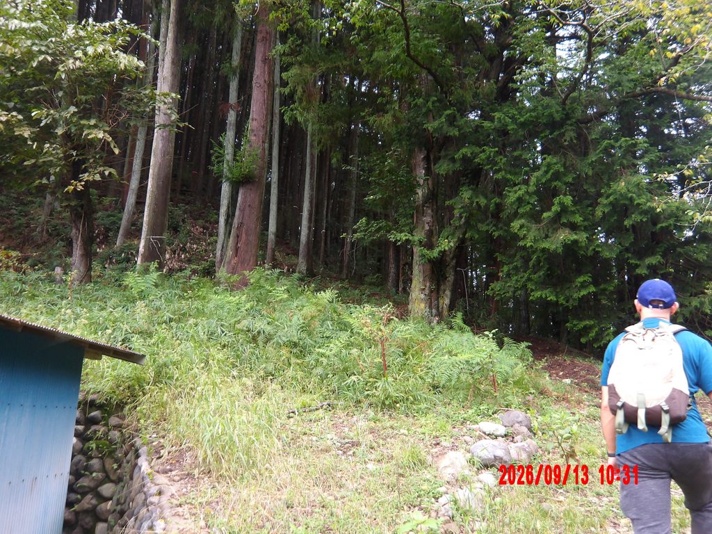
Hoping to avoid any potential crowds, we angled for a trail which appeared only on my Garmin maps but came up only partially on my friend’s YAMAP account. After missing the entrance, we realized the entrance to the trail was up a private driveway and past what seemed like a private cemetery. This is not uncommon for trails in Japan, and especially during long hikes for example the kohechi of the Kumano Kodo, it’s not uncommon to stumble through the yards of a few kind strangers. That said, private property is private, so we respectfully approached the staircase on the far end of the property with the comfort that, in Japan, most private residences do not own guns or rigorously enforce land ownership.
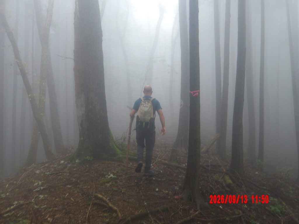
Once into the forest we were greeted by thick fog which only got thicker as we moved up. The ground carried some loose makings of a trail, but it was not abundantly clear which way to go. We likely would have turned back had it not been for the absurd number of trailmarkers and blazes. Just about every single tree along the first half of the trail had a white piece of tape, while every third tree had some spray paint symbol, including several almost humorously marked “tree”, 「木].
It’s possible that the trail is used for some kind of maintenance, and we saw saw some trees marked by the 花粉対策室 or Pollen Control Office. It seems that their activities encompass, at least in part, cutting down trees which generate a lot of pollen and planting trees that produce less. An interesting approach to forest management, but I suppose it’s promising in the face of Japan’s pollen crisis.
Anyhow, we had essentially no way to get lost given the outstanding markings and made our way up the 39% grade slope. There were a few breaks in the climbing, but until reaching the ridge ahead of Mt. Otsuka, 大塚山, we didn’t get much relief. The fog also continued to thicken and we got some really great, albeit freaky, Silent Hill/forest horror movie energy. The pictures came out looking like found-footage horror content.
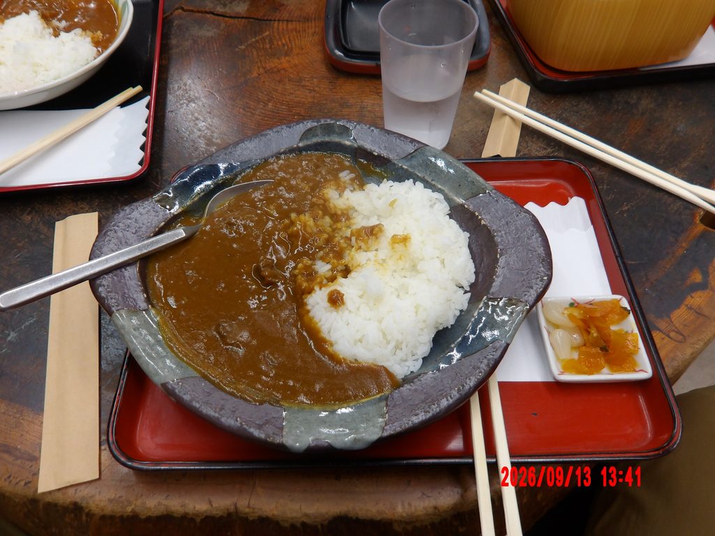
We pushed through Mt. Otsuka and rendezvoused with my lovely girlfriend who opted to take the ropeway up and meet us for lunch. We topped out at Mushi Mitake shrine before tucking into some warm food which included venison curry for me and oyakodon and vegetable curry for my lunch buddies.
This was also the point where I decided to pause my Garmin activity (with the comfort of base ChatGPT insisting I can merge GPX files down the line). I managed to merge the files with no problem, but for some reason, the GPX viewer in WordPress struggles to handle the elevation data, so the GPX file is a bit barren for this post. Lesson learned.
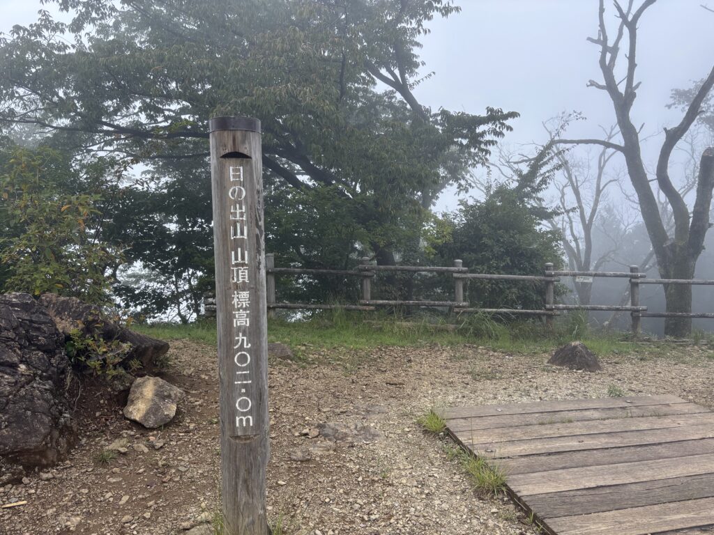
Warm food in our bellies, we bid the girlfriend farewell and set off down the other side of the Mt. Mitake for Mt. Hinode which is a smaller mountain just 2km away. This return route also promises the allure of the very aptly named Tsurutsuru Onsen, つるつる温泉. We headed straight down the mountain and covered the descent in only about 1.5 hours.
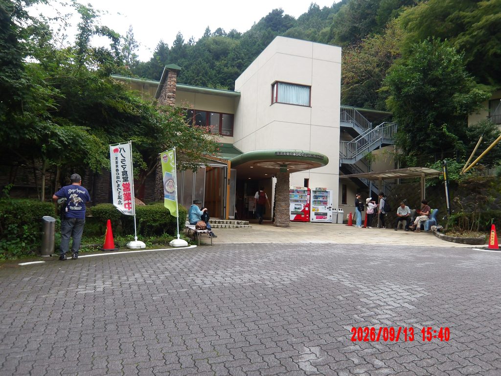
A short walk from the trailhead got us to the onsen which, as the name implies, has some of the smoothest water I have ever felt. The facilities of Tsurutsuru onsen were erected in 1996, but the history of onsen in the Okutama region goes back much farther with some reports noting 600+ years. I even found one website saying Tsurutsuru onsen once fell into a lake (?!), so I’m not sure how that happens. The onsen apparently pumps their water from over 1500m beneath the surface yielding a strongly alkaline bath which is pretty unique, and we were very happy to be greeted by the silky waters after a long humid day.
Quick rinse completed, coffee milk consume, we made our way back to the city; a chill Sunday trail, complete.